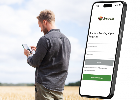
EMPOWERING YOUR TEAM TO FARM MORE EFFECTIVELY
Why Choose Arvorum?
Arvorum brings satellite, yield and nutrition data together with your own observations and sensor information, creating maps that optimise yields and reduce waste. One low price gets you all tools you need to farm better.
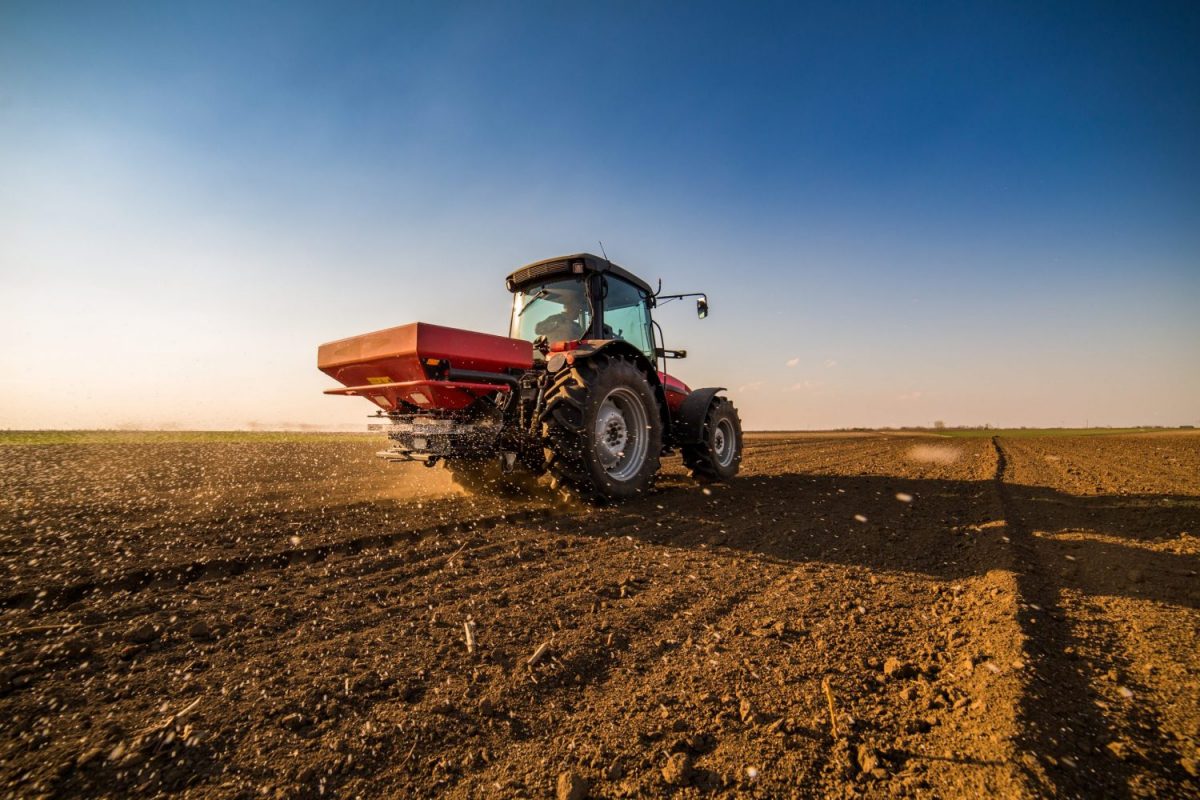
THE POWER OF ARVORUM
The Power to be More Precise
Empowering you and your team to exploit the power of precision to farm more productively and sustainably
Arvorum brings all the in-field variabiliy data on your fields together in one place. Arvorum is part of a comprehensive global precision farming network that has been customised with optimised connections to British software, data and machinery. Arvorum is easy to set up and easy to use
A single price gives you access to Arvorum’s entire functionality, including a mobile app with the ability to create and apply variable rate fertiliser, spray or seed maps and securely share tasks with colleagues or advisors.
Arvorum integrates satellite imagery, harvest data, field scouting, variable rate application and record keeping.
SEAMLESS INTEGRATION
Compatible With Your Equipment
We understand that farming is a complex operation that requires the use of various tools and machinery.
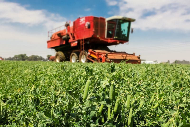
That’s why Arvorum is designed to work seamlessly with your machinery, allowing you to transmit application maps wirelessly for compatible devices. Our system works with tractors, fertiliser sprayers, and other equipment to ensure that everything is operating efficiently and effectively.
Arvorum also enables the recording of applied maps, so you can easily keep track of all your operations. With AGI, we provide farmers with an advanced solution for managing their farming operations. This means you can streamline your farming operations, save time and increase productivity.







EVERYONE INCLUDED
Arvorum Works With Your Team
Arvorum brings your whole farming team together to make more profitable and sustainable decisions for each part of your fields. All data on your farm is synchronised between the app and the PC to bring everything together in one place.
Our platform allows you to share data and activities, ensuring everything is placed perfectly. With timely data and superior margins, Arvorum helps you use your machinery’s GPS technology you’ve already invested in, both data and machinery, to make a real difference on your farm.
This means you can share the data you want with your agronomist agent or contractors, collaborating with them for better results. Our bureau system offers expert help when you need it, and our partner, Sentry, can set up, configure, and train you, ensuring ongoing support and guidance.
Our system works with your on-farm team
Our platform allows you to share data and activities, ensuring everything is placed perfectly. With timely data and superior margins, Arvorum helps you use your machinery’s GPS technology you’ve already invested in, both data and machinery, to make a real difference on your farm.
Our system works securely with advisors
This means you can share the data you want with your agronomist agent or contractors, collaborating with them for better results. Our bureau system offers expert help when you need it, and our partner, Sentry, can set up, configure, and train you, ensuring ongoing support and guidance.
Arvorum is designed to work with your staff
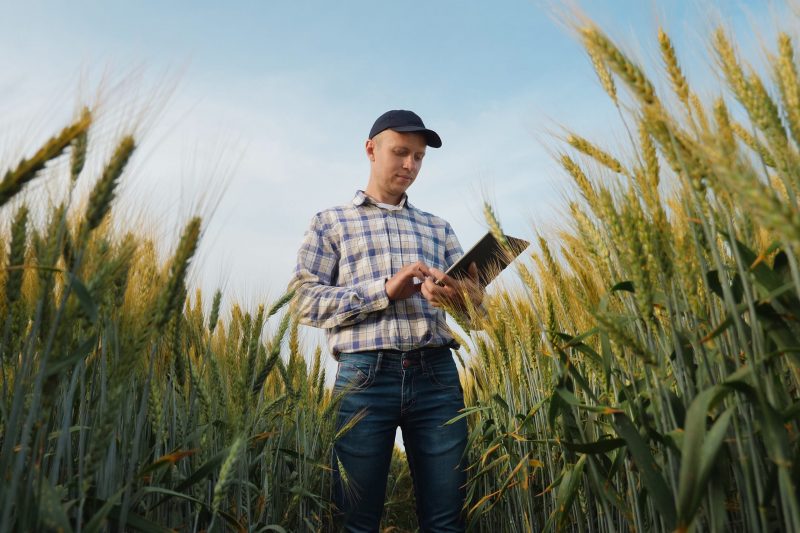
Arvorum provides tools for scouting, task creation and management, and confirmation of task completion. With the over-the-air transfer of maps and using teams to troubleshoot, our platform streamlines your operations and helps you farm more efficiently with your team.
We believe in bringing the entire farming team together to farm better
By sharing data and activities, we help farmers make more informed decisions and achieve superior results.
INNOVATION
Our Technology
Arvorum securely connects directly to your own data help in private databases like Muddy Boots & Gatekeeper and conveniently links to other public data published, for example, by DEFRA.
You can be informed automatically when new data including new satellite images are available for your fields.
Collectively Arvorum contains all the tools to make better farming decisions. Annual summaries can show you how much you have saved or optimised. Our platform is designed for interaction between managers, staff and advisors with synchronisation in the cloud.
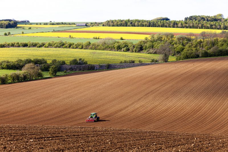
Data freedom underpins everything Arvorum stands for
Arvorum provides a supplier-independent open landscape environment where farmers & advisors can store, source and share their data from multiple places.
All your data is synchronised between smartphone in-field scouting on the Arvorum app and your farm office computer, securely shared with authorised advisors without limit. Subscribers own their data, with the freedom to trade with whomever they like. And if you want to close your account, it’s easy to take your data with you.
Everyone has to start their precision journey somewhere
Arvorum is easy to use and set up with connections to field data you may already hold. Your field boundaries are preconfigured. Three years of historic satellite imagery is available immediately, and you can get started in just 15 minutes.
Our team of experts make it easy to start assessing in-field variability and export to the widest range of GPS- equipped sprayers and spreaders within the hour. What’s more, Arvorum links to commonly used farm management programs to avoid retyping fields and cropping data.
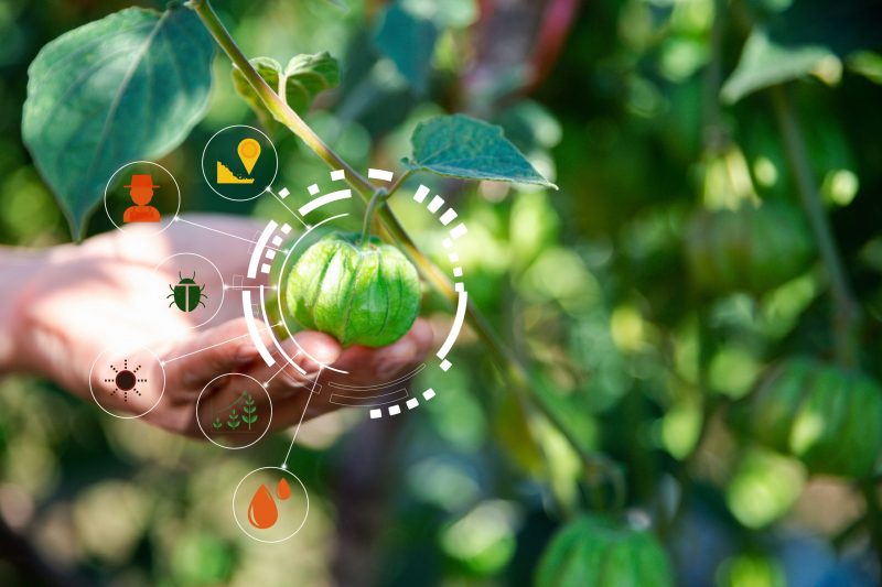

Data freedom unpins everything Arvorum stands for
Arvorum provides a supplier-independent open landscape environment where farmers & advisors can store, source and share their data from multiple places. All your data is synchonised between smartphone in-field scouting on the Arvorum app, your farm office computer and securely shared with authorised advisors without limit. Subscribers own their data with the freedom to trade with whoever they like. And if you want to close your account, it's easy to take your data with you.

Everyone has to start their precision journey somewhere
Arvorum is easy to use and easy to set up with connections to field data you may already hold. Your field boundaries are preconfigured. Three years of historic satellite imagery is available immediately and you can get started in 15 minutes. Our team of experts make it easy to start assessing in-field variability and export to the widest range of GPS- equipped sprayers and spreaders within the hour. What's more, Arvorum links to commonly-used farm management programs to avoid retyping fields & cropping data.
INNOVATION
The Mobile App


The phone/tablet app allows infield GPS scouting and also seamlessly connects with a variety of in-field sensors and connections to weather & plant diagnostic tools.
Data recorded in the field is automatically synchronised to the office computer and can be shared with professional advisors and fellow colleagues on the farm via tasks.
The phone/table app allows in-field GPS scouting note and task creation. It is also shows CropX and weather data and is the place to use AI disease and pest diagnostic tools.
