

Introduction
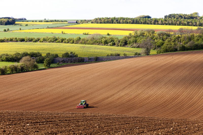
Satellite imagery is a transformative tool that can revolutionise agricultural husbandry practices, enhancing decision-making processes with comprehensive and reliable data. As a farmer, agronomist, or agricultural advisor, you can understand the dynamics of your fields more effectively with Arvorum’s cutting-edge satellite imaging technology.
What is Satellite Imaging?
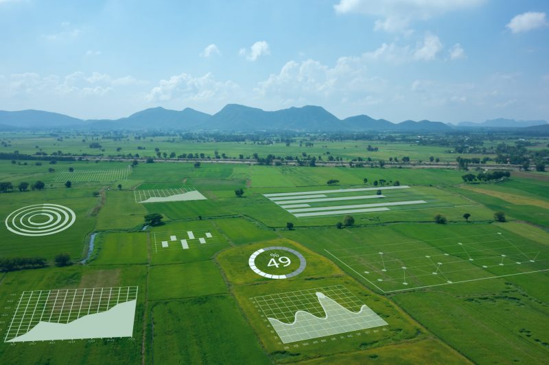
What is satellite imaging, you ask? It’s a process that involves gathering information about the Earth’s surface, atmosphere, and oceans via satellites. These sophisticated pieces of technology are equipped with specialised sensors and cameras, capturing high-resolution images of our planet from space. These images have a variety of applications, including monitoring weather patterns, tracking environmental changes, and mapping land use and vegetation, making them invaluable for agricultural purposes.
Arvorum’s Satellite Imaging Capabilities
With Arvorum, you get access to three years of the most comprehensive archive of satellite imagery of your fields and regular updates in season, as often as every three days when weather conditions permit.
Arvorum’s satellite imaging comes with a myriad of benefits that can’t be matched by regular observation methods. Equipped with special sensors which detect visible and infra-red light absorption, satellite imaging can gain insights that aren’t visible to the naked eye, such as the early progression of disease and pest-induced damage. The technology allows farmers to visualise chlorophyll degradation, an early sign of disease or pest damage, before visible symptoms appear on the plants.
Benefits of Arvorum’s Satellite Imagery
The advantages of using Arvorum’s satellite imagery for crop monitoring are numerous and flow from ‘cookie cutting’ the raw images onto your own field boundaries to be used for better decision-making.
Arvorum makes it easy to use the imagery as a basis for reporting, record-keeping, and integration with other sets of data like disease and pest models, yield maps, in-field pest monitoring using the Arvorum app.
Bringing all the data together creates a more complete view of growing crops, giving agronomy professionals a clearer view of the progress of their crops during the growing period and insights into more focused husbandry strategies based on objective real-life data.
How Arvorum Utilises Satellite Imagery in Farming
So, how does Arvorum utilise satellite imagery in farming? The raw images are processed to calculate spectral indices which produce visualisations in the form of colour synthesis, revealing crop growth, stress, or soil erosion. Spectral indices are combinations of light reflections from two or more wavelengths that highlight features of interest. These indices can be used to identify a variety of things, from crop health to water and geological features.
The Normalized Difference Vegetation Index NDVI is one of the most commonly used indices and Arvorum can combine one or more of these index maps taken days or years apart to identify short-term in-field variability. Alternatively long-term variation can be identified to reveal long-term inter-seasonal differences or similarities that can be exploited by adjusting input rates or to direct field cultivations.
Conclusion
In conclusion, Arvorum’s allows an easy-to-use and intuitive fusion of historic and real-time satellite imagery with other data sources to offer substantial benefits for crop monitoring and management.
To make the most of these benefits, consider downloading the Arvorum app. With this tool, you’ll have the power of satellite imaging at your fingertips, enabling you to make informed decisions about your crops and their health.